Selecting the Site
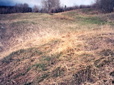
After we completed the sample locations, we needed to decide on the most likely place for our main dig. The samples we gathered seemed to form a pattern: the closer to the road we went, the more we found. We asked Mrs. Prestie again about what she remembered. She really thought that going further south from the existing ball diamond would be the most likely spot. She could name three families that could have lived there: Gunderson, Sewell and Judson. The Judson's were the family that collected old cars. We chose the area she suggested, just north and east of Mrs. Stabler's garden for our controlled excavation. We had a local bobcat owner who scraped the sod off a controlled, marked site area. This made it easier for us to set up the grid and do the dig. |
|
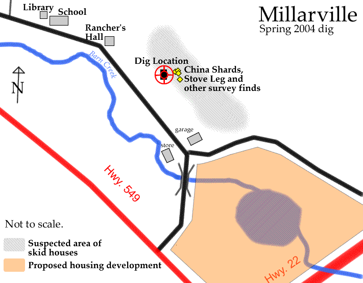
Using the GPS gave us some very good readings and it reported an accuracy of 9 m. Some of the survey finds were very close to the final dig. That is why the symbols for the survey finds (the yellow diamonds) are so close together and close to the dig (checkerboard symbol).